Eurovelo 5 - my Garmin and a desastrous bridge

Garmin and Komoot.
Finding my way.

I'm not a paper maps person. I love to look at them, but I think we progressed and have tools that make it a lot easier to navigate. I had some discussions about that, but I'm not convinced that paper maps are the way to go. For this trip, I got myself a Garmin and a komoot account. This combination worked really well for me and in the following I describe how I used it.

On Instagram, I saw lots of people using their phones to navigate. I decided against that option, mainly for two reasons: battery life, and distraction. Even though I got myself a brand new phone before starting, I was not convinced that it would last for a whole day. On normal days, the battery is empty quickly and I didn't want to risk that. More importantly, I wanted to focus 100% on the journey and the road—no distractions by incoming messages and notifications.

As you might have noticed from other posts, I'm not the one who looks extensively around to find the perfect fit. I check what sort of the standard is and then go for it. That's how I approached as well deciding for the Garmin. I got an Edge 830. And yes, I'm actually very happy with it. It has two downsides, which I explain later.

Eurovelo 5 - my Garmin and a desastrous bridge
IMG 1422
IMG 1380 1
IMG 2418
IMG 4135
IMG 4158

I decided for komoot simply because I used it before on hikes. I do have a Strava account as well, but I feel it is more about training and being fast. Komoot is more about adventure and planning.

I will write as well a little post about how I approached the planning of my tour, high level and day-to-day, but for now some very hands-on tips.

I did not customize my Garmin a lot. Two things I changed quickly though. I turned off any sounds. I find it very irritating to be beeped at all the time. It really distracts me, even when I hear other people beeping around. So, sounds off. The second thing I turned off were notifications. I only allowed phone calls to go through.

Another thing that took me some time to figure out how to modify was to set it up in a way that it automatically pauses when I stop. I never tried to go fast, but nevertheless, I take a bit of pride in getting slowly faster. And I feel a bit of stress when I'm at a red light for example and the Garmin tracks along. It's a little bit pathetic, I know. In the beginning, I paused manually, which led oftentimes to stopping the tracking and I had quite some day trips that were chopped in several trips. Not great. One downside of the automatic pausing is that it is not too great picking up when moving again. Usually, it's just some seconds, when biking. But when you have to push your bike, you're sometimes not passing the moving threshold and lose these meters of ascend. Nothing dramatic of course, but still a bit sad and to counteract that I was sometimes running while pushing. Again, pathetic...

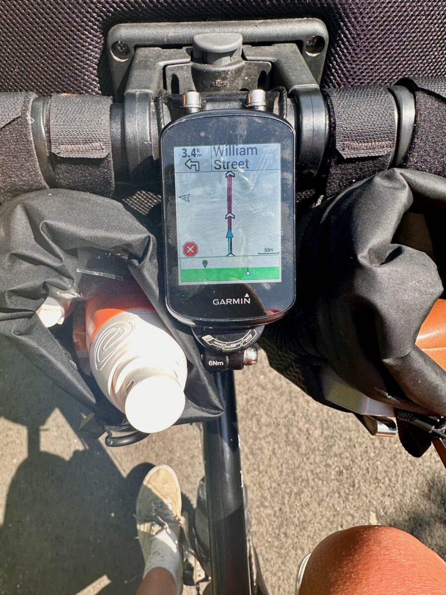
I enabled Garmin Connect, so I could install applications on my Garmin. Komoot offers an app to access trips that you planned on your phone or on the computer. This was really cool, as I never planned on Garmin, but rather on komoot. They have all the bigger bike routes and are offering quite some community rides that you can easily copy to plan your trip. My version of the LEJOG, for example, was completely based on a tour that was published on komoot.

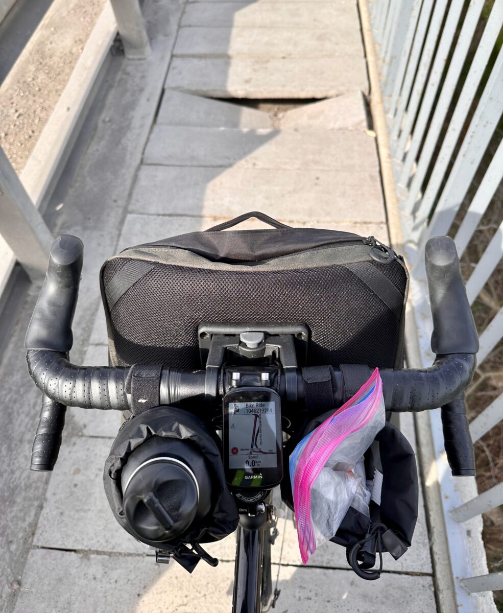
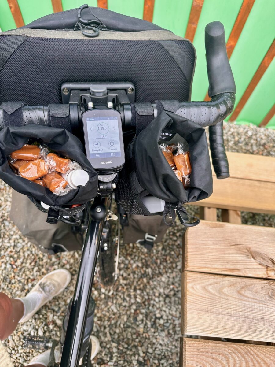
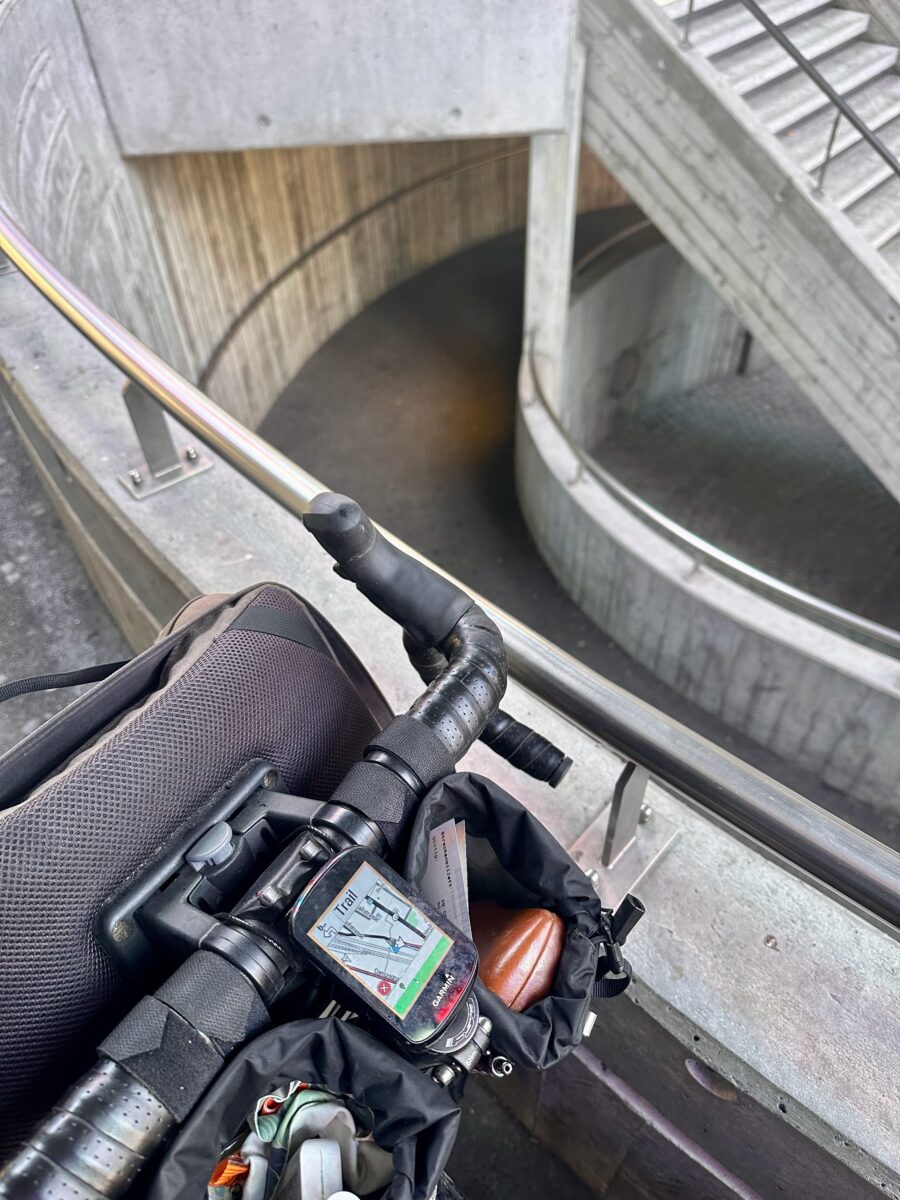
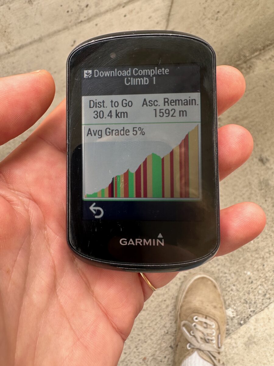
The planned tours could then easily be used on the Garmin to get the directions. One thing that I love about the Garmin display is that it highlights the climbs you have to take. It always gives you a good idea of how hard the day would be.

Once finished you can publish your rides back to komoot. Additionally, there's the possibility to add images to the tour which would then be placed on the route.

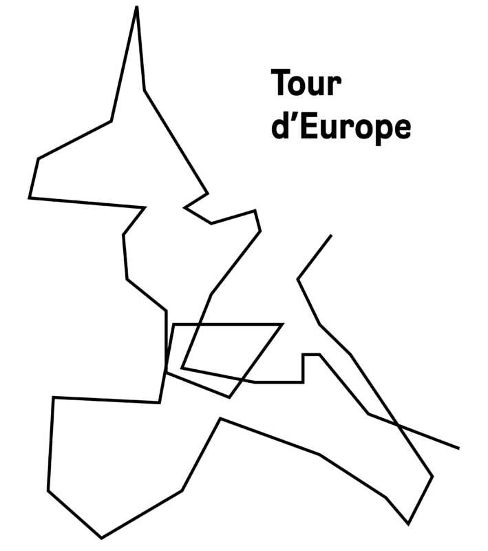
All in all, this setup worked really well for me and it's even now supporting me to write down my memories. I have all my tours on komoot, day by day, and in weekly collections. If you're interested check them out here

There are some annoyances though:

  • Every three weeks or so, my Garmin told me that I could no longer load the tour from komoot, as I wouldn't have enough space. This is not a matter of disk space, but rather the amount of tours. It is possible to connect your Garmin to your desktop computer and delete the tours. Or you can do it bit by bit on the device itself. It's easy to fix, but frankly, the manual deleting on the device took me quite some time to figure out. I had mornings where I completely reset the Garmin, just to be able to load a tour.

  • Every now and then the Garmin is no longer linked to your phone. It simply can't find it and the only way to solve it is to reconnect it. I did it several times, and almost always I forgot to unpair the phone in the phone settings which would result in not being able to connect the two.

  • The two things mentioned above, I would consider annoyances. But what was really something that made me upset was with komoot. After biking for more than 150 days, it was not possible to display the complete tour nicely on a map. Instead of having a nice route, I had only some bubbles with numbers. Very much useless. I can understand that it might be difficult or even expensive to render these maps, but as a paying customer, I found it quite annoying. To get my complete tour I had to download all the gpx files, minimize and merge the routes, and then upload them to google maps. I really wish komoot would handle that better...

But overall, a set up that was working for me!

Note: I'm realising, that I did not go in depth with how to do certain things on the Garmin. I will add this eventually, but it's a bit of effort to figure out how to illustrate it. The Garmin and it's menu is still a bit mysterious to me and I will need to really put some effort in. But I'm going to add it.

Last update: 15. January 2024
Mood: happy :)
Hibernating